Mitigation Strategy
Follow flood-free site selection
Overview
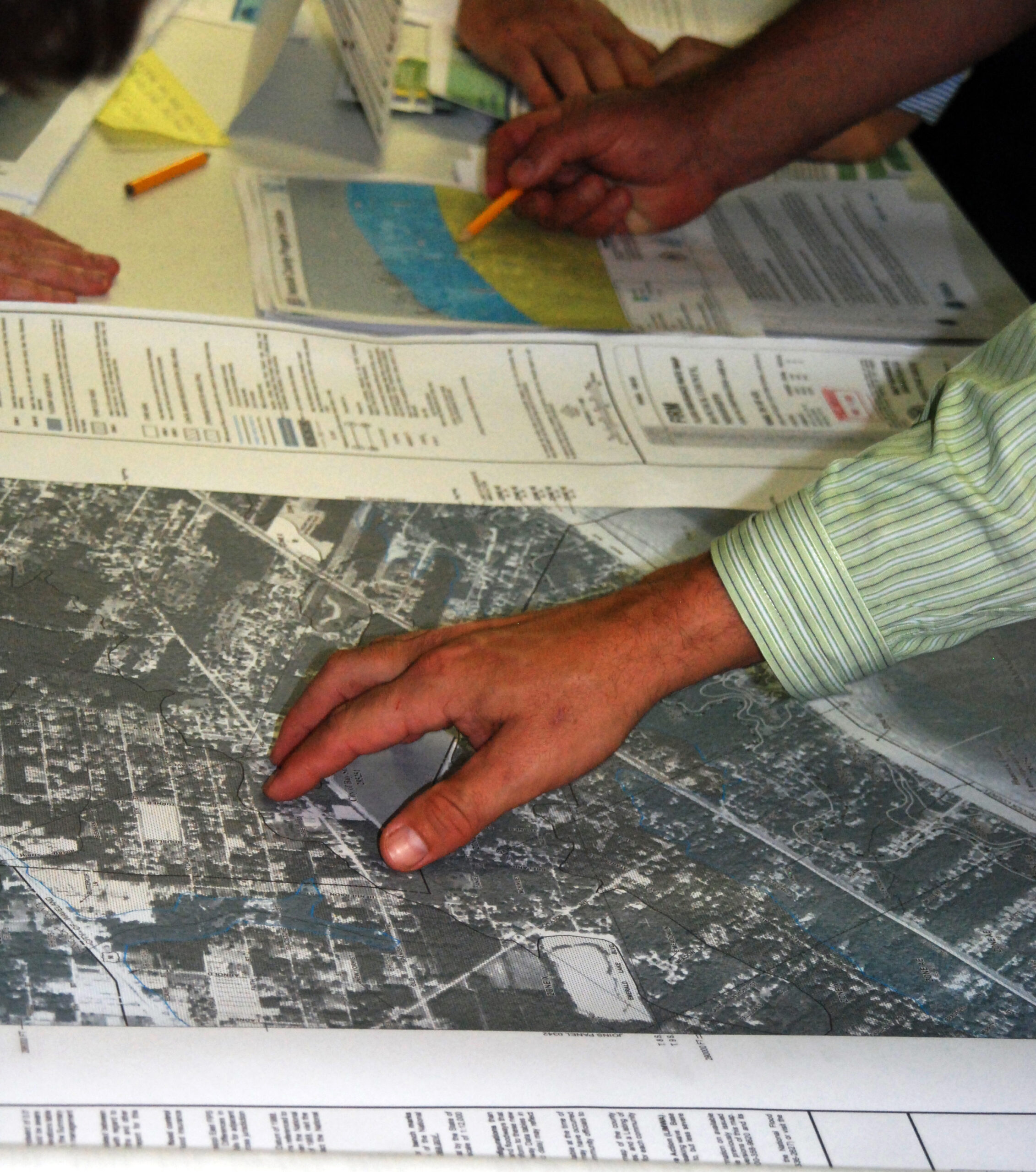
Site selection is the process of choosing where to build a structure on a property. Identifying flood hazards and their frequency is an important part of this process, and helps homeowners and communities make informed decisions by weighing the costs and benefits of building in a particular location. Flood risk and other hazards should ideally be considered from the beginning of the site selection process, and should be integrated with all other design decisions. When building a new structure, property owner(s) should try to choose a location that ensures that the building will remain dry in the event of a flood.
Flood-free site selection principles include:
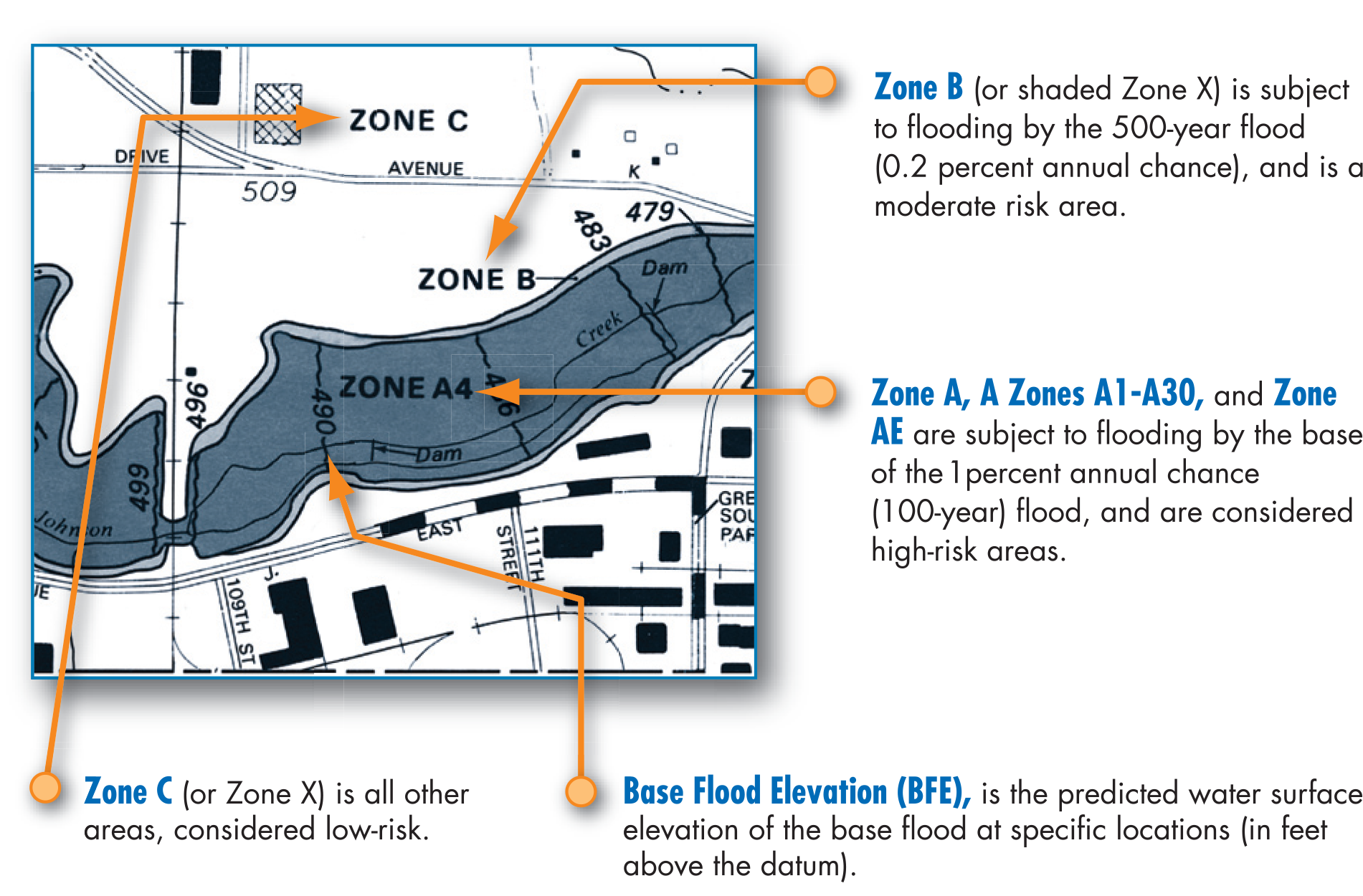
- Reviewing FEMA Flood Insurance Rate Maps (FIRM) or other local flood hazard maps to determine if the preferred site is within or adjacent to an area subject to flooding;
- Reviewing nearby flood protection structures (e.g., dams, levees, seawalls, etc.) to determine if the site relies on a flood control structure for protection and if the structure is accredited for providing flood protection;
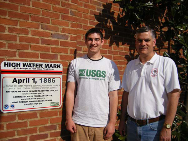
- Examining historical flooding records to identify if the site has flooded in the past, how often, to what degree, what the circumstances were (e.g., drainage issues, flooding from small watersheds, or large rain event), and whether the frequency and severity of flood events has increased; and, lastly,
- Seeking advice from local experts who can evaluate flood risk and floodplain mapping, which could include having a site-specific topographic and/or flood study performed to determine specific elevations and/or flood characteristics.
Following these principles is the best way to identify whether a site is located in a known flood hazard area. According to FEMA, “the single biggest determinant of flood vulnerability is elevation.” While options exist to either increase the elevation of the ground beneath a building site or to raise the building itself, the most effective way to prevent flooding is almost always to choose a location to build where it is unlikely that floodwaters would reach in the first place.
However, following flood-free site selection principles is sometimes easier said than done, since flooding is a dynamic process, and incomplete or out-of-date floodplain information can make it difficult to assess how likely it is that a particular parcel of land (let alone exact building site) will flood. Additionally, a lack of affordable housing in low flood risk areas can prevent lower income residents from buying a home in an area that is less flood-prone. If a flood-free site is not available, once other potential site hazards are identified, the property owner should try to mitigate any flood (or other hazard) risk during design and construction of the structure.

Property Characteristics
Property Scale
Neighborhood
Single Property
Real Estate Type
Single-family residence
Multi-family residence
Manufactured home
Business
Government building
Agricultural building
Foundation Type
Slab-on-Grade
Crawlspace
Open Foundation
Basement
Property Location
Coastal
Past Flood Depth
Deep
Unsure
Moderate
Shallow
Debris Flow Potential
Yes
Unsure
Implementation Factors
Action Required If Flood Is Imminent
No, Passive
Relative Cost
$
Level of Effort
Professional
DIY
Next Steps
- Contact your local government to learn about your property’s Base Flood Elevation (BFE) and how to consult the flood hazard map used for local floodplain management in you community, such as the FIRM. Note, FIRMs may have incomplete or out-of-date information or may not capture all areas at risk of flooding, such as local drainage issues or flooding from small watersheds. If you are not sure who to talk to within your local government, check out our “who to contact” page.
- Even if you are not building a school, see Table 5-1 in Design Guide for Improving School Safety in Earthquakes, Floods, and High Windsal/FEMA_Design_Guide+_School_Safety_2004.pdf for a detailed list of evaluation questions to help guide you in assessing flood risk at potential building sites. It includes information on where to find out about flood risk reduction structures (such as levees and dams) impacting your area, and past flood events.
- Once you’ve selected your site, before work begins, contact your local government for help determining what federal, state and local permitting, code or ordinance requirements you will need to follow.
Special Considerations
- Critical facilities may be required to be located outside the 500-year floodplain, as mandated by federal Executive Order 11988. Critical facilities include hospitals, fire and rescue, and schools. For more information on this regulation, see Section 2.1.4 of FEMA P-936, Floodproofing Non-Residential Buildings.
- Sites on a steep hillside may be at risk of landslides.
- Be careful not to redirect water flow from your property onto another property. No adverse impact (NAI) floodplain management is an approach that ensures the action of any property owner, public or private, does not adversely impact the property and rights of others. NAI calls for any adverse impact caused by a project to be mitigated as part of the project. By following NAI principles, you can: prevent flooding from increasing or damaging others; see a reduction in flood losses over time; and avoid challenges and lawsuits over causing or aggravating a flood problem.
- Ensure compliance with all applicable National Flood Insurance Program requirements and local building codes. The NFIP sets minimum standards and allows individual communities to adopt their own additional or more stringent requirements via local floodplain management ordinances, regulations, and laws.
- Most homeowner’s insurance policies do not cover flood damage. Contact a local flood insurance representative to learn more and get a quote, if you do not already have flood insurance.
- Check to see if your municipality has a financial assistance program to provide lateral line cleanup or restoration.
Reduce Flood Risk
https://www.reducefloodrisk.org/mitigation/follow-flood-free-site-selection/
Printed: 06/13/2026